While we were staying in Snug (just south of Hobart) we made the drive down to Cockle Creek. We couldn’t come this close and not drive as far south as possible. I was a little nervous when we turned on the GPS and it said we were three and a half hours away! That’s a lot of car time with kids, especially a toddler.  This is where we were headed. It’s as far south as you can drive in Tasmania. (Can you see the red marker? I hope it shows up for everyone else and not just me!) The drive was beautiful. Have I mentioned Tasmania is amazing? It’s amazing.
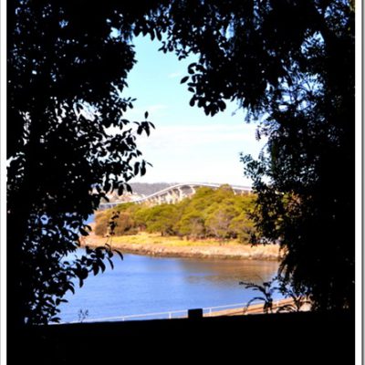
  The last twenty kilometres or so are dirt road. Some of it’s smooth. Some of it’s not.
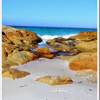
  But when you emerge from the bush you find this. With camping spots nearby. Since it was a long weekend there were quite a few campers.
  Thankfully our GPS was wrong, our drive was probably two and a half hours. Still a lot of car time for one day. So what’s at the very end of the road? This.


 And this. A sign telling you that, yes, you have indeed reached the end of the road. According to this sign we were closer to Antarctica than Cairns. Cool. It also lists the north, east, and west points in Australia. I hope we make it to all of them.
  What else was at the end of the road? Why, a whale sculpture of course!
  Okay, make silly faces now. TurboBug doesn’t quite get that yet.
  Somehow I missed (until now that I’m reading it in this picture) that this sculpture is of a life-sized three-month old southern right whale. Wow.
  We decided to do the walk to Fishers Point. Officially the best walk ever.
  Too many pictures to put in this post, so I’ll save it for the next one!
The End of the Road: Cockle Creek, Tasmania
posted in: Tasmania
Tahune AirWalk – How Many More Minutes?
[…] in Snug which is just south of Kingston. At the bottom of the map you’ll see Cockle Creek, where we’d been the day before. The day we went to the Tahune AirWalk we stopped in Geeveston for tickets and a trip […]